Our Montessori Bookshelf: All About Geography!
In Montessori we love to explore how our language shapes our thinking, so we often explore the etymology of words. The word geography comes from the Greek geo, which means earth, and graphein, which means to write. So, geography can be understood as a description of the earth and all that occurs physically upon it.
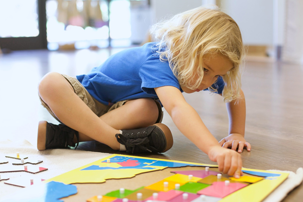
Although we name geography as a distinct subject, in Montessori geography is really woven throughout children’s learning experiences. These are some of our favorite books that support what children are experiencing in their geography explorations and that also encourage their natural curiosity about the world.
Land and Water
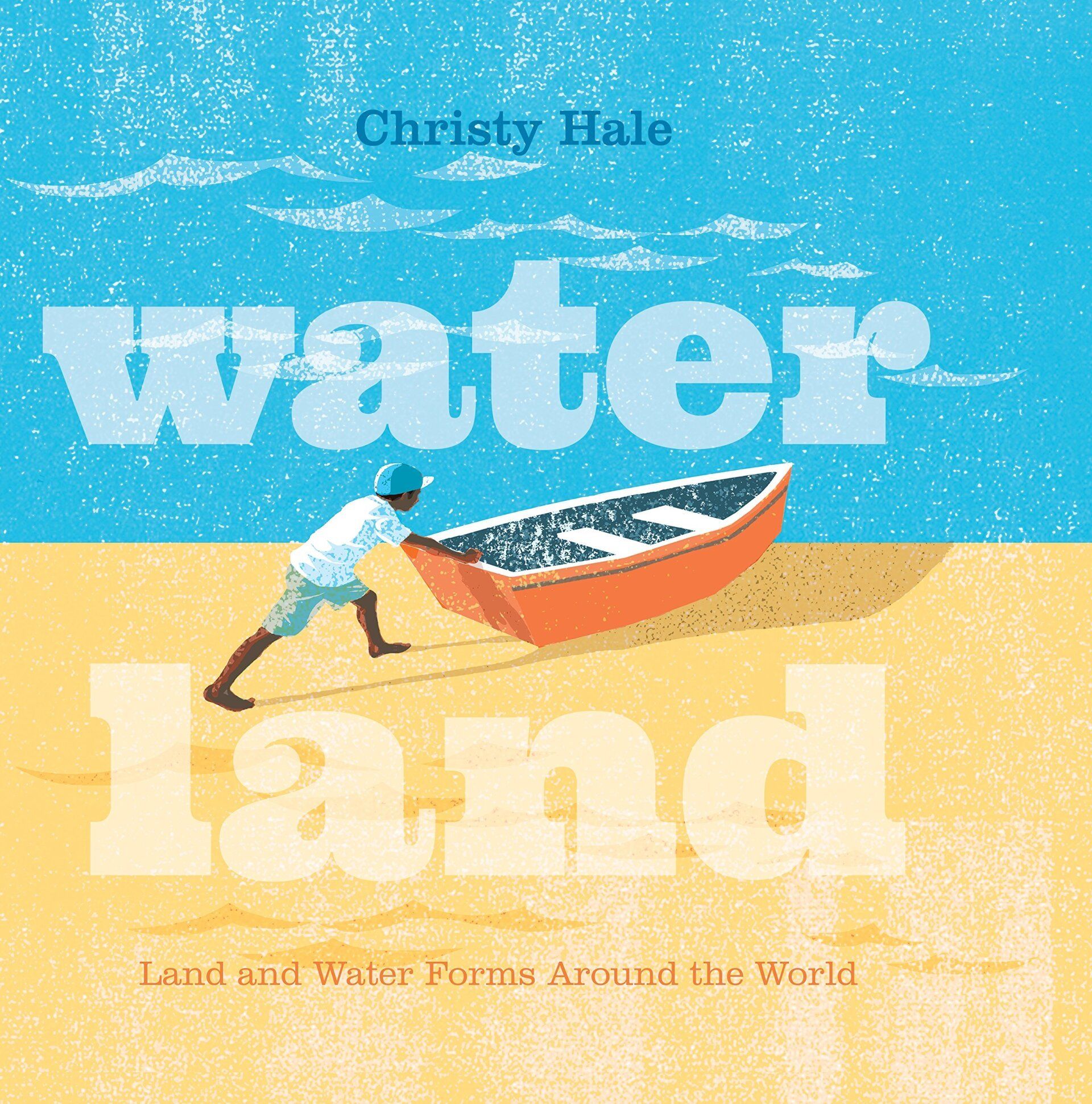
Water Land: Land and Water Forms Around the World
https://www.goodreads.com/en/book/show/35795941
By Christy Hale
This picture book shows the visual relationship between land and water forms by using cut-out portions of the page. Turn the page and a lake becomes an island! The simple yet lovely illustrations of humans interacting with the water and the land are accompanied by one word on each page that states the vocabulary: lake, island, bay, cape, strait, isthmus, etc. This is a perfect book for young children beginning their journey in geography!
Political and Physical Geography
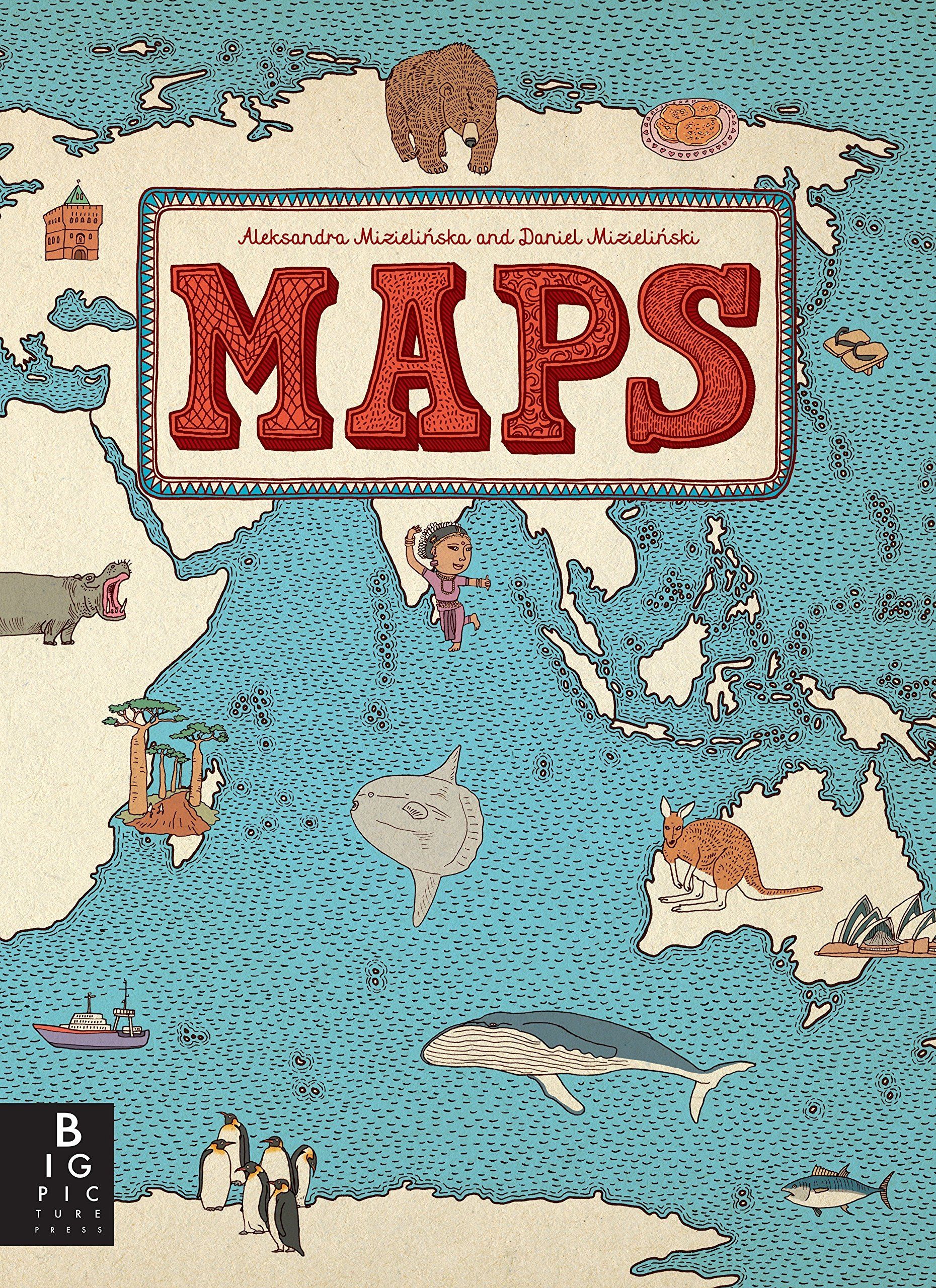
Maps
https://www.goodreads.com/book/show/17262382-maps
by Aleksandra Mizielinska and Daniel Mizielinska
This is the perfect tome for children beginning to learn about continents and countries. The sturdy pages give the book a sense of weighty importance, and each page reveals treasures upon treasures. The book offers an overview of the world, then focuses in on each continent and key countries within the continents. Presented in map form, the pages also illustrate animal and plant life, as well as cultural traditions and interesting facts. Both an amazing reference guide and a key to further exploration, this book is rich in visual appeal as well as in content.
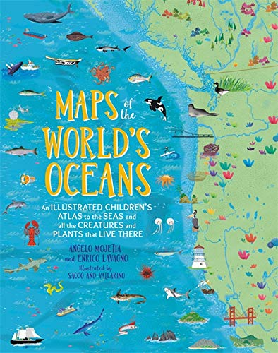
Maps of the World's Oceans: An Illustrated Children's Atlas to the Seas and all the Creatures and Plants that Live There
https://www.goodreads.com/book/show/43521921-maps-of-the-world-s-oceans
By Enrico Lavagno and Angelo Mojetta
This illustrated atlas combines an enticing visual overview of the world's oceans with easily digestible bits of information about what is found there. Easily a jumping-off point for a slew of research, this book is a must-have resource for any child interested in history, marine biology, or really just cool facts in general.
Cultural Explorations
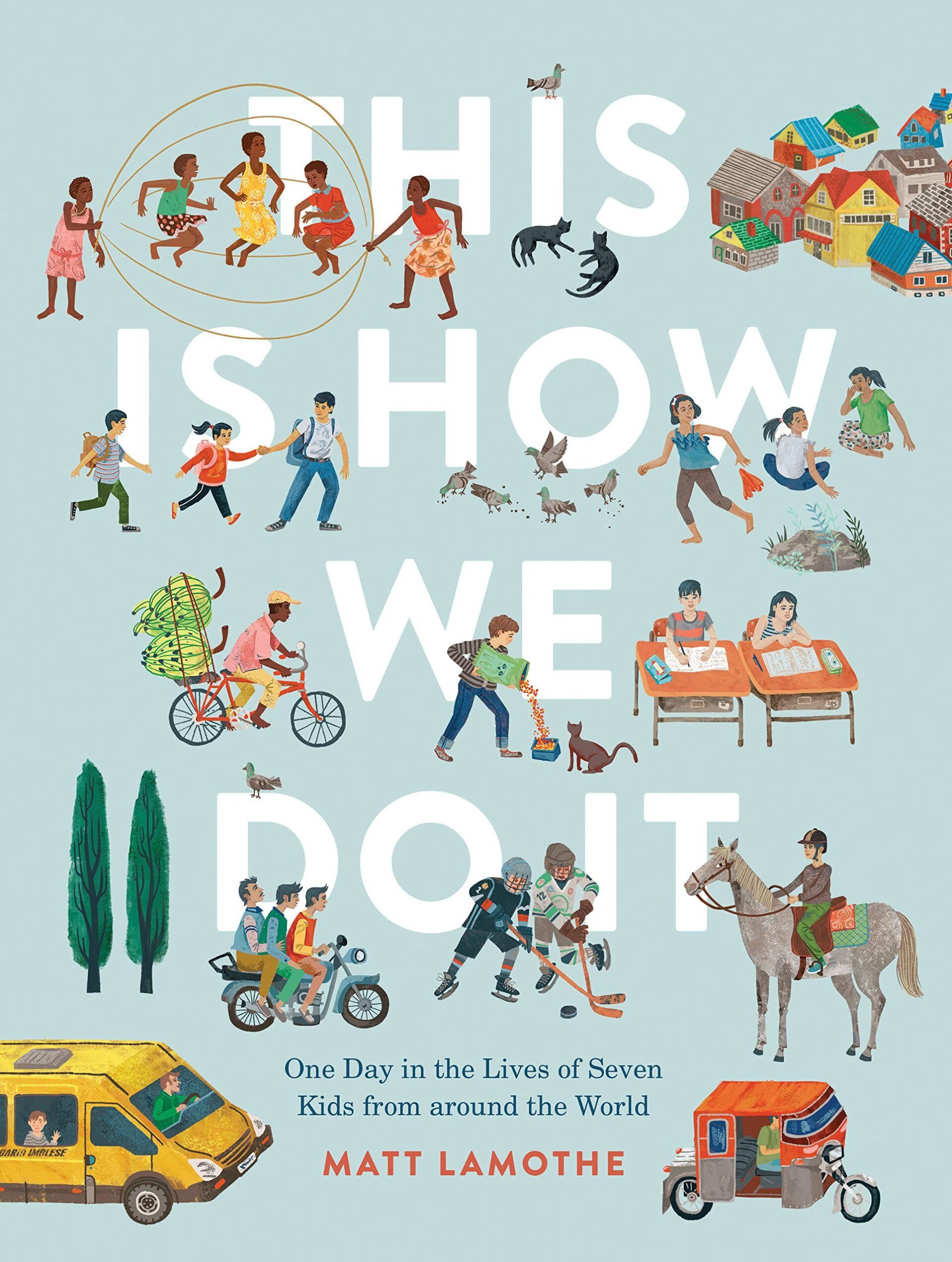
This Is How We Do It: One Day in the Lives of Seven Kids from around the World
https://www.goodreads.com/en/book/show/31423417
by Matt Lamothe
Based on seven real children around the world, this book depicts a day in each of their lives. The illustrations and short text of the children’s lives are shown side-by-side, so it’s easy to explore the similarities and differences in how they live: their families, what they wear, their school, what they eat, how they enjoy their evenings, where they sleep, and more. Designed to appeal to a range of ages the book provides large, simple text for each part of the day, as well as short descriptions for more confident readers. Younger children are also fascinated by the pictures of young people engaged in a variety of activities. Best of all, the book offers a delightful reminder of what unites us.
The Earth
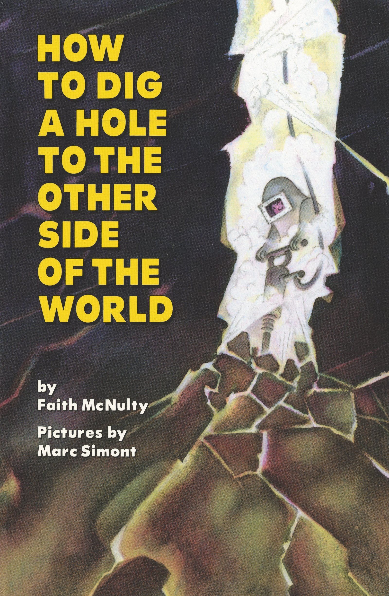
How to Dig a Hole to the Other Side of the World
https://www.goodreads.com/en/book/show/578870
By Faith McNulty, Illustrated by Marc Simont
Elementary children love this book! The simple illustrations are just enough to spark their imagination as the text takes them on a “what if” journey that starts with finding a soft place to start shoveling. The adventure continues with finding fossils, drilling, perhaps finding oil or a geyser, using a jet-propelled submarine, and eventually resurfacing on the other side of the earth. The best part is that the story perfectly dove-tails with the elementary geography lesson that introduces the layers of the earth. Despite the imaginative aspects of How to Dig a Hole to the Other Side of the World, the book is firmly grounded (pun intended!) in fascinating scientific information presented in just the right way to appeal to elementary-aged children.
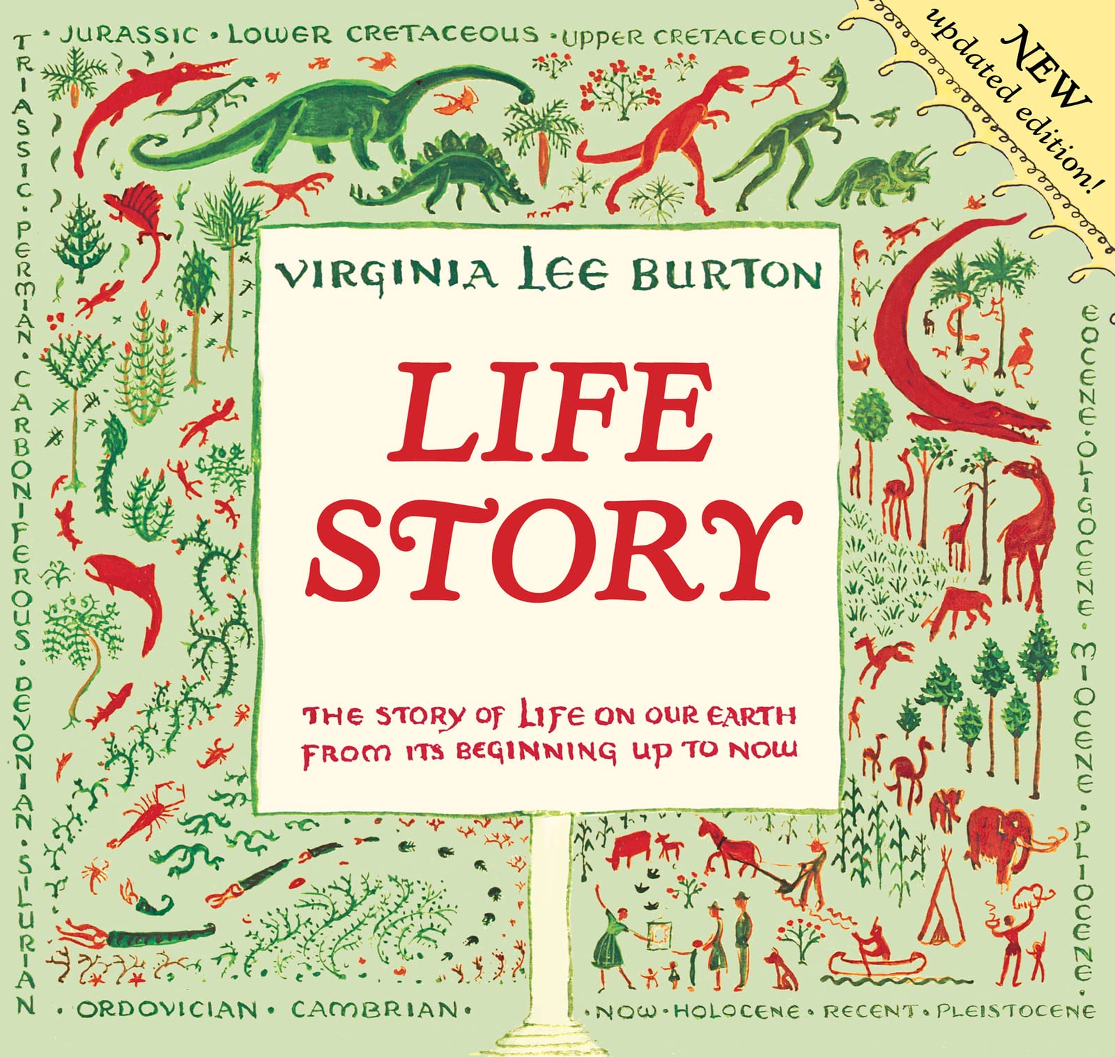
Life Story: The Story of Life on Our Earth from Its Beginning Up to Now
https://www.goodreads.com/en/book/show/30939
By Virginia Lee Burton
Set as a play, complete with a program detailing the cast and characters, Life Story progresses through scenes from the earth’s beginnings, through the prehistoric eras, to the seasons of human life. This book perfectly illustrates the passage of time and appeals to the elementary-aged child imagining the emergence of the universe and their own place in the story.
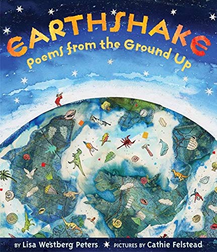
Earthshake: Poems from the Ground Up
https://www.goodreads.com/book/show/1096972.Earthshake
By Lisa Westberg Peters, Illustrated by Cathie Felstead
These 22 poems offer whimsical yet scientific scenes all about planet earth: from wind to quartz to lava to water. Reading these poems reminds us that we can revel in the love of language while also learning about our world. As a bonus, the endnotes provide a bit more context and information about each of the 22 topics.
Other Books to Explore
If you and your children are super excited about these titles, here are some other geography books we recommend!
Land and Water: Landforms & Bodies of Water
By Eve Heidi Bine-Stock
https://www.goodreads.com/book/show/55072240-land-and-water
Wake Up, World!: A Day in the Life of Children Around the World
By Beatrice Hollyer
https://www.goodreads.com/book/show/312628.Wake_Up_World_
Let’s Eat!: What Children Eat Around the World
By Beatrice Hollyer
https://www.goodreads.com/book/show/8940.Let_s_Eat_
The Shortest Day: Celebrating the Winter Solstice
By Wendy Pfeffer, Illustrated by Jesse Reisch
https://www.goodreads.com/en/book/show/331130
Solving the Puzzle Under the Sea: Marie Tharp Maps the Ocean Floor
By Robert Burleigh, Illustrated by Raúl Colón
https://www.goodreads.com/book/show/25785790-solving-the-puzzle-under-the-sea
The Magnolia Flower symbolizes perseverance, nobility and dignity; three values we strive to instill in our students.
PROGRAMS
Magnolia Montessori School
2 Lake Drive
Whitehouse Station, NJ 08889
(908) 534-2038